
TripTik.
Tuesday, May 19th, 2020
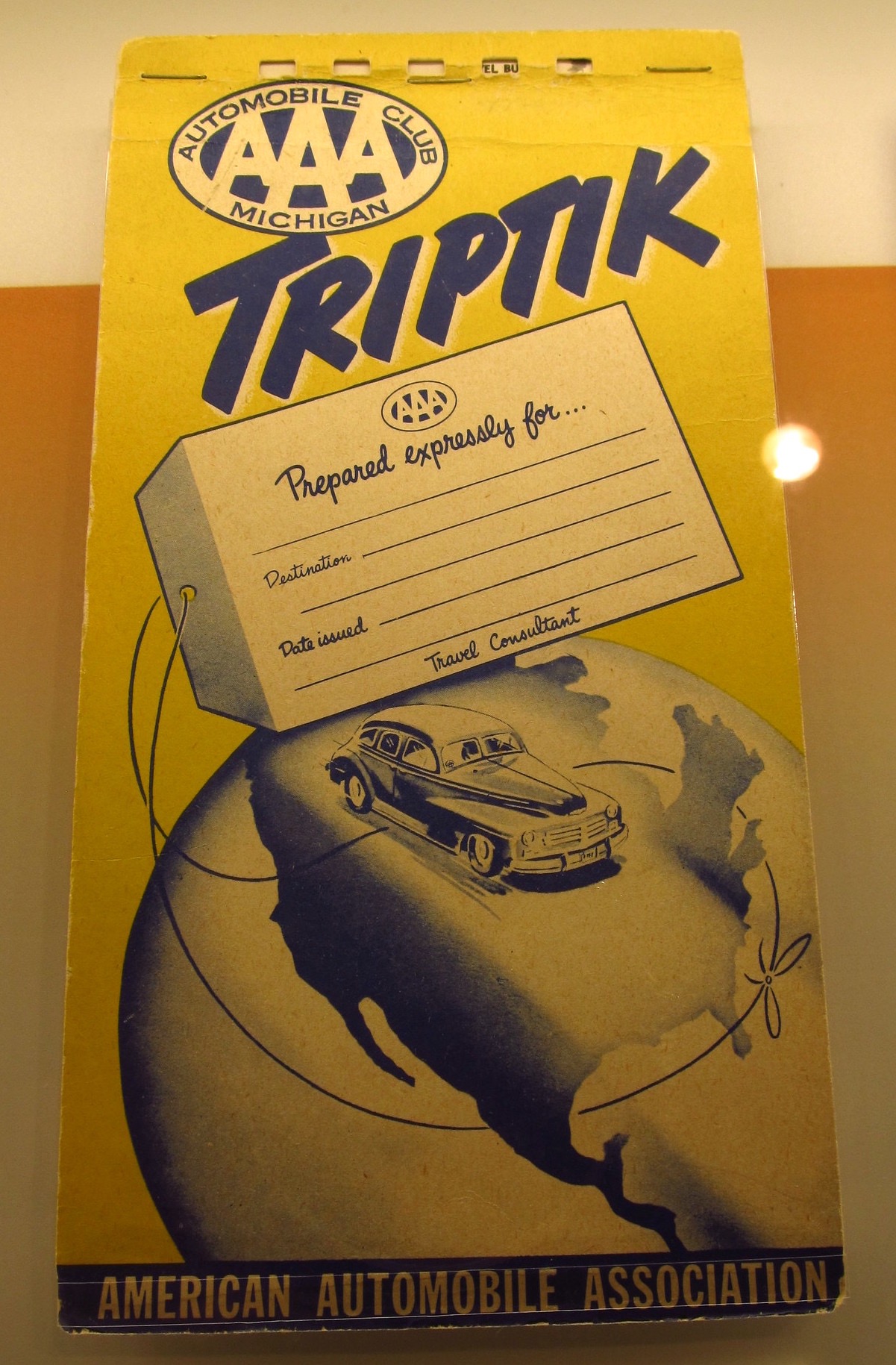
A 1951 AAA Triptik at the Henry Ford Museum, photo by ‘Jasperdo’ on Flickr.
My dad always liked maps (as do I.) When we’d get ready for a particularly complex road trip, he’d go down to AAA and get us a TripTik. I know Sammy’s dad sometimes did much the same, because two or three of them survive up at her family’s cottage in upper Michigan.
These would always be a supplement to the reliable ‘big picture’ Rand McNally Road Atlas, and they really were a different animal—a series of spiral-bound vertical sheet maps upon which our route was set out by an expert employee with an orange highlighter. (I guess now you’d say the sheets were “portrait” aspect, like uh, our phones.)
Since a lot of our travel happened in the midst of the original construction of the Interstate Highway System, the route was often a patchwork: “you’ll be on the superhighway until Cartersville, and then it’ll dump you out onto old US 41 here, and there’s some construction that’ll really slow you down, and…” My Dad always said those AAA people really knew their roads—where the construction was, where you could find a top-rated motel, the name of that breakfast place he liked in Cordele, Georgia.
We’d end up with a super-customized map that had our specific route, and it was marked up with (by 1960s standards) very fresh information.
Nowadays of course our route (if we needed it) is displayed on a bright iPhone screen and is extremely up-to-the-moment—which places are ‘temporarily closed’ because of Coronavirus and even what the gas prices are at the next exit up the road.
Almost feels like cheating.
